May 15
403-433
At sunrise we quietly leave our bunk beds to avoid disturbing our bunkmates. We get back on trail and begin climbing into the San Gabriel mountains.
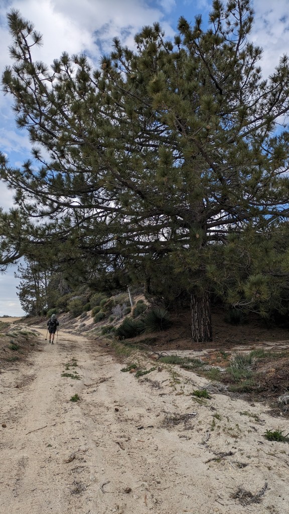
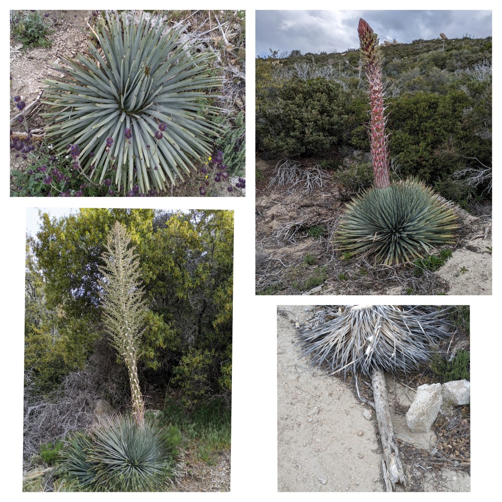
The San Gabriel mountains are at the perfect elevation where the flora is mixed between conifers and desert chaparral. It is interesting to see all the trees surrounded by agave and sage. In Wrightwood I read that the agave is not actually a cactus. Instead, it is in the asparagus family. The plant has a few distinct life stages and lives for 10-30 years. It produces a long, stalk like bloom that flowers for 3 months, and then the plant slowly dies. We see agave in every stage of its life during this stretch. Knowing that it only blooms once, just like us, we appreciate the flowering stalk that much more.
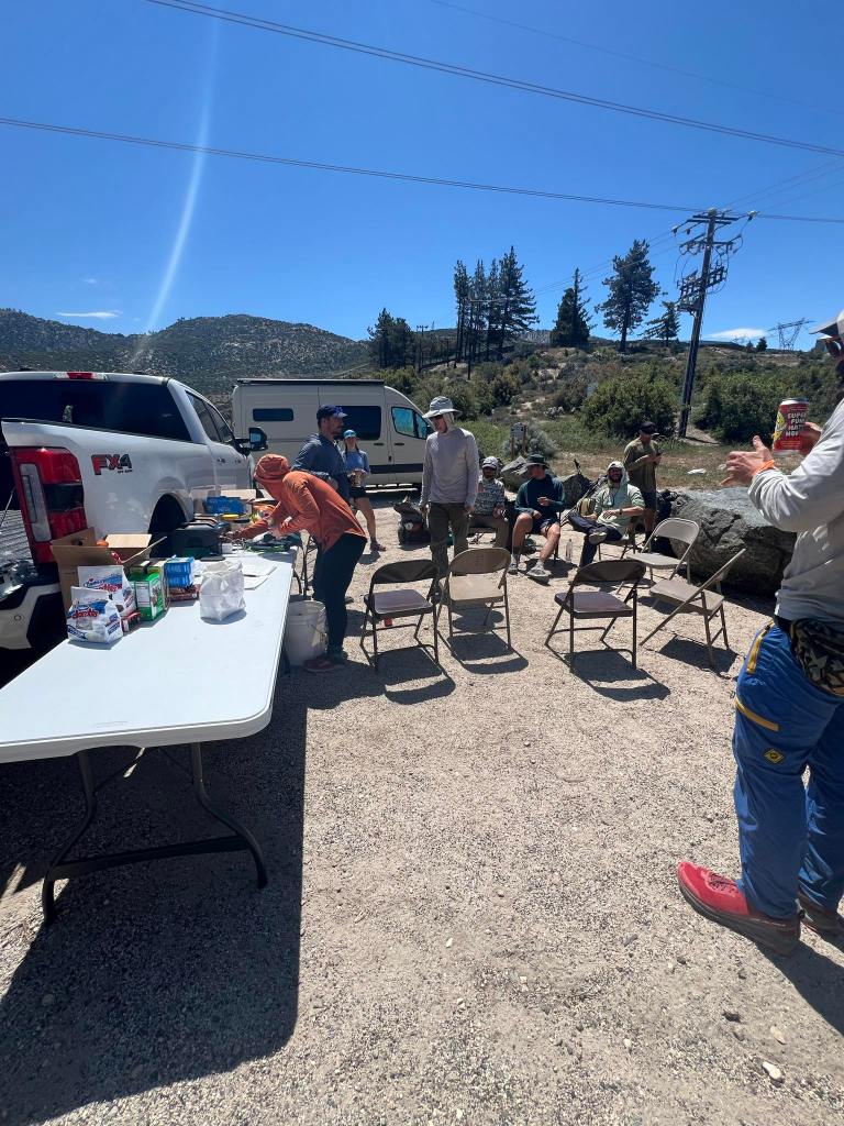
The temperatures start soaring as we descend from the San Gabriel mountains. At a highway rest area a man has set up a small table for hikers with beers and burritos. I gulp down a beer and an enormous burrito and we immediately begin a climb in the midday heat.
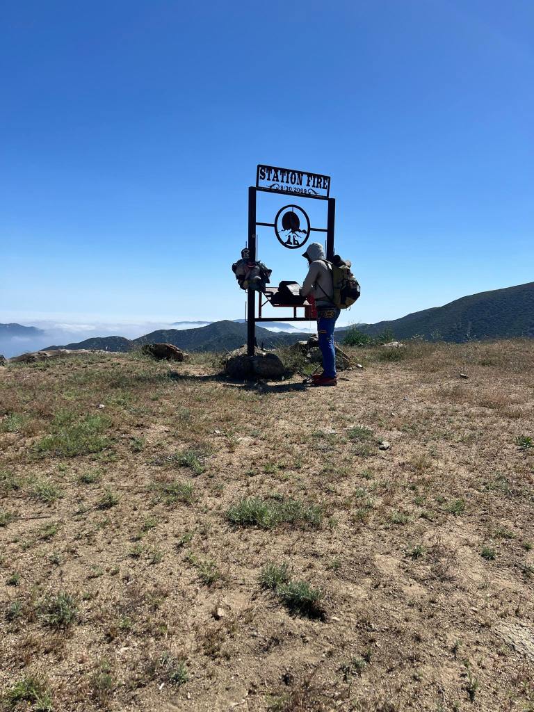
I pay for the burrito, and beer, dearly during this climb. It feels like I am sweating sausage grease. My heart rate spikes as I shuffle slowly up the climb. After what feels like an eternity of suffering, we crest the climb and begin walking a gorgeous ridge. We are walking through the remnants of the 2009 station fire. When I passed through in 2013, this area was a charred and desolate hell scape. Since then, there has been tons of new growth that is fragrant with a massive amount of blooming flowers.
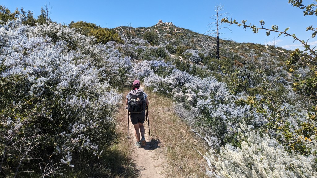
It is heartening to see. We pass by a memorial where two firefighters lost their lives while fleeing from the uncontrolled inferno of the wildfire.The station fire was one of the biggest wildfires in California history. 160,000 acres were burned as the fire raged for a 50 days. The fire was started by an arsonist who ignited a brush fire with gasoline.
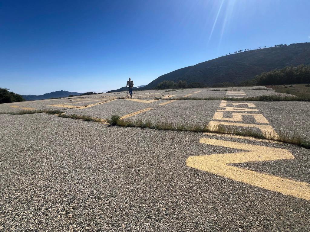
Farther along the trail we pass along a decommissioned Nike Missile site. These sites were line-of-sight anti aircraft missiles that served as the last line of defense against potential Russian bombers during the height of the Cold War. They were frequently located in high elevation areas around major population centers. We are currently in the hills surrounding LA, so the placement of this site was crucial to defend the West Coast’s largest city.
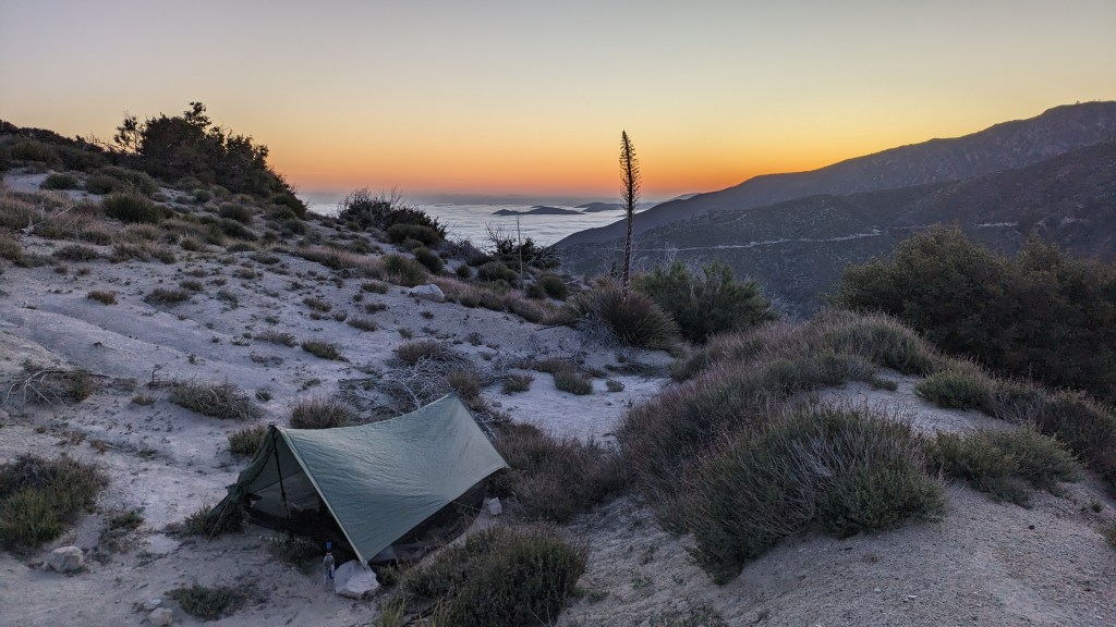
Our camp for the night is in a beautiful spot with a territorial view of the surrounding countryside. I notice we have cell phone service and I check NBA and MLB news and catch up on blog posts until I can no longer keep my eyes open. We have hiked 61 miles in the past two days.


Leave a reply to Chris Scaniffe Cancel reply