July 23
1840-1849
Fire closure detour
1807-1915
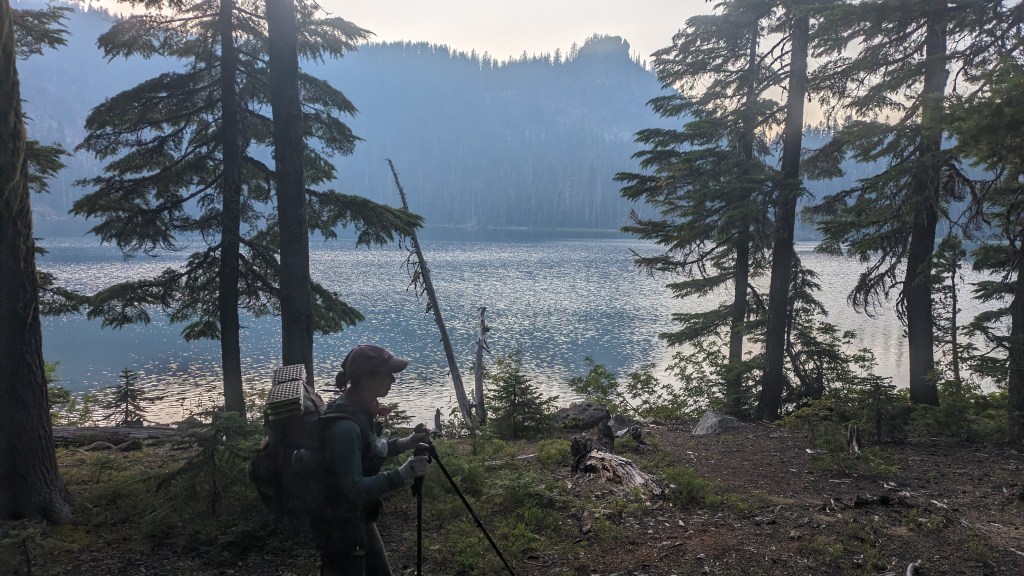
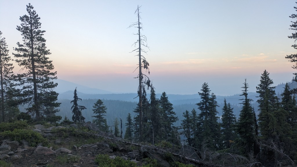
In the morning the smoke cleared slightly. We walk through the blast zone of the eruption of Mt. Mazama, the eruption that formed Crater Lake. We walk through what is now called the Oregon Pumice Desert- a massive plain of ash and pumice. Over time trees have slowly taken root, but the land remains flat and under a thin layer of dirt exists feet of volcanic pumice and ash.
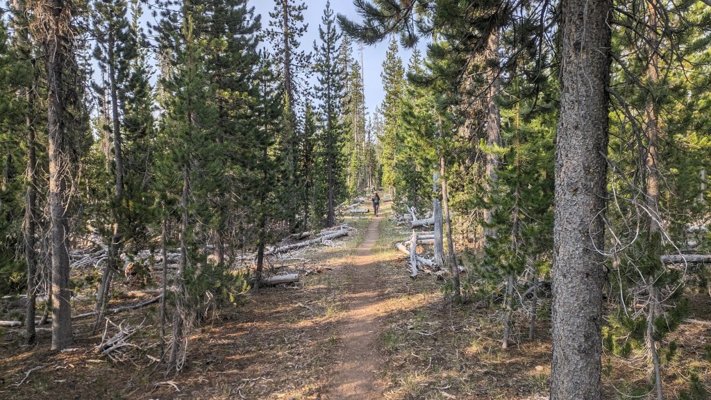
Natural water sources do not exist in the area, as any water will simply disappear into the sandy ground. At a road crossing we find a large cache of water. Many hikers are skipping this stretch due to the air quality and additional closure up ahead. Our ethic on this trail is to hike as many miles of it that we can. When there is an official closure we skip, but otherwise we want to hike every inch of trail possible.

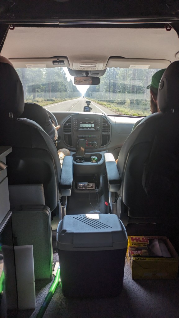
We hike an additional 8 miles before reaching our next official closure at highway 138. The trail across the highway is quite literally taped off with red tape. There is a man in a van parked at the trailhead offering to shuttle us around the closure. His name is Boffin and he previously hiked a big chunk of the PCT. Now he is trying to pay back the rides he received on his trek.
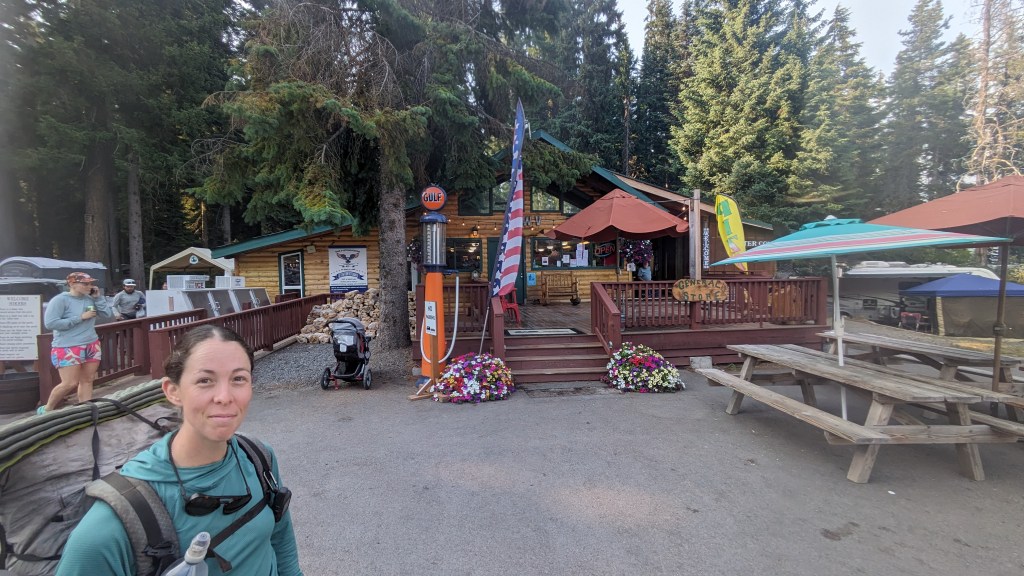
Boffin drives Papa Bear, Amber, and I to the other side of the closure at Shelter Cove on Odell Lake, a small fishing lodge. It remains quite smoky here, but we are easily placated and distracted with hamburgers, showers, and laundry to care too much. This is a location we sent ourselves a box of food for the stretch ahead. It was a wise decision that we did this. Otherwise we would be eating travel sized bags of potato chips and candy from the meager resupply options at the store for the next 90 miles. Papa Bear sent himself a pair of shoes to this location, and his shipment was delayed by It is sad to leave him. We have loved hiking with him- he has a gentle, easy going demeanor, and it is rare to find a hiker with a similar trail ethic and style to us. He is a strong hiker, so we hope he catches up to us.
We hike an additional 8 miles along the trail, planning to stop at a Backcountry skiing cabin.
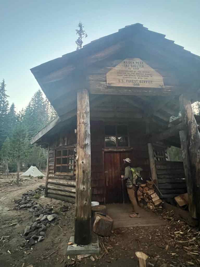
When we get there and open the front door we see that it is packed to the gills with hikers and locals, so we move on an additional half mile before finding a suitable spot to camp.

Leave a reply to Chris Scaniffe Cancel reply