July 28
2001-2033
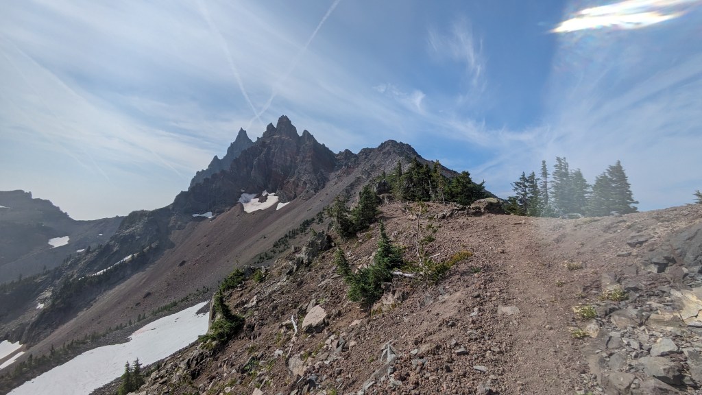
The trail takes us on a fairly direct South to North route throughout Oregon. A string of volcanoes guide us northward. Next up we have 3 fingered jack, and then Mt. Jefferson, and Finally Mt. Hood. It is satisfying to see a volcano in the distance and watch it get closer and closer with each step. It makes the progress we are making feel far less abstract.
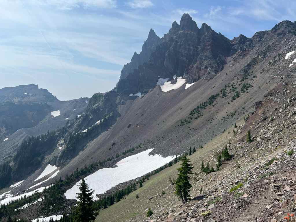
We climb right on the shoulders of Three Fingered Jack, an ancient shield volcano named for a local fur trapper with 2 missing fingers, and we get a great view of it’s narrow summit ridge.
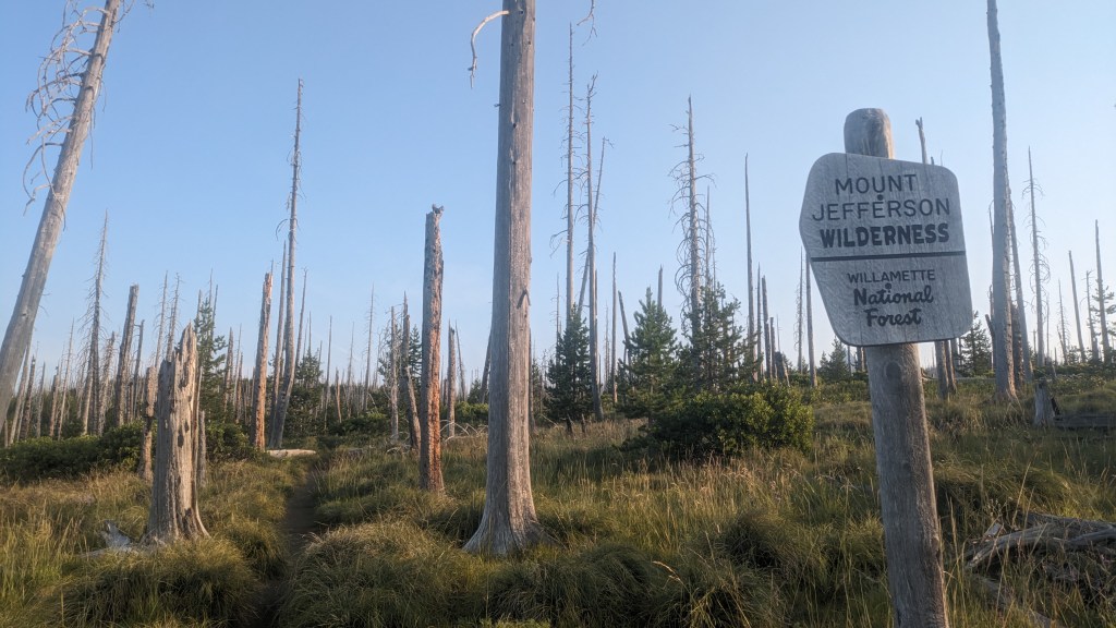
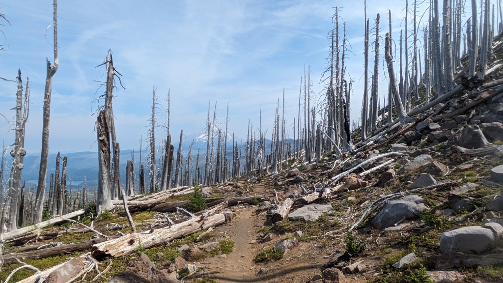
Then we are back into a large burn area with Mt. Jefferson in the horizon.
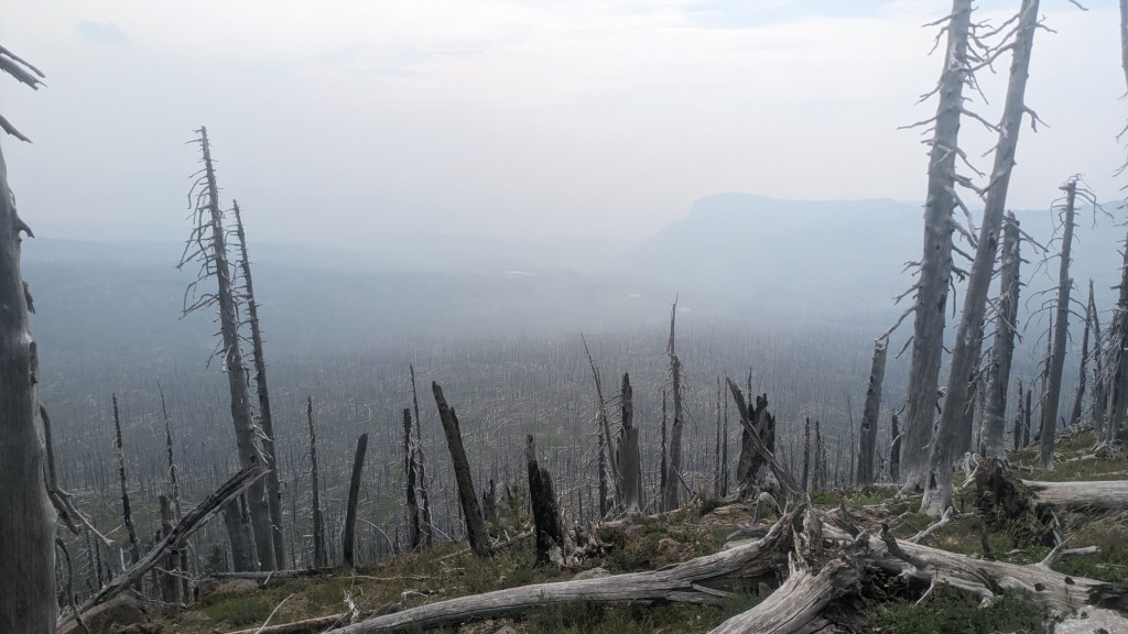
Heavy smoke begins to roll in in the early evening, and we lose our views of distant peaks. In the past month 1.14 million acres have burned in Oregon. Oregon is only 60 million acres total, meaning that 1.6% of the land area of the state has burned in July.
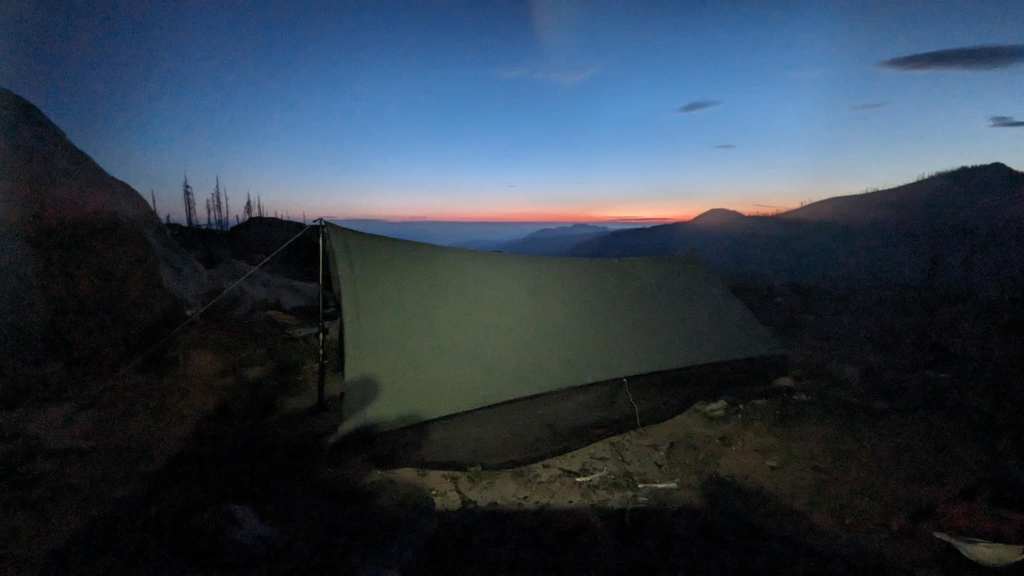
As evening approaches we find ourselves in a heavily burned area. According to weather forecasts, a storm is approaching overnight. As we walk amongst this graveyard of vegetation the dead trees creak and quake in the wind, warning us from beyond the grave. We have to hike right until it is dark to find a safe place to sleep.
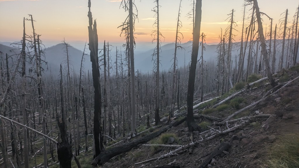
We set up the tent right as darkness falls, in a ashy clearing away from any standing dead trees that could fall on us while we sleep.

Leave a reply to Chris Scaniffe Cancel reply